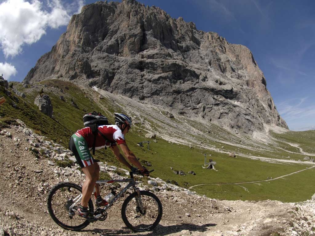
Passo Valparola
From Arabba we head East following an asphalt downhill on provincial road SP n° 48 until the village of Renaz, where, right in front of the artisan diary (which is worth a visit to taste their products), there's a junction to the left that takes you uphill on asphalt to the hamlet of Cherz. We continue along an easy dirt road until we get to the Malga Cherz dairy. Once we arrive to Malga Cherz we veer hard to the right and after a brief descent we cross Rio Salvazza and continue along the well marked mule trail to the hamlet of Contrin. Here we meet more asphalt that is a rolling ride that takes us to the neighbourhood of Corte. Heading East and following a path that is not always well marked, we make it to the hamlet of Livinè. We continue along this path, staying clear of the provincial road n° 48 that winds its way below us, pass through the neighbourhood of Brenta and go down to the main village of Livinallongo. Once we pass the centre and before crossing the Rio Chiesa, we turn left and take a steep asphalt road in the direction of Col di Lana. We continue along the climb to the height of the village of Palla, here we do not turn left (which would take us towards Col di Lana), but continue straight on towards the hamlet of Agai. Before entering the village we turn left along a rough, steep path on which we will soon have to get off our bikes and push every once in a while. Alteranting between ride-able stretches and parts where it is not only advisable but necessary to get off and push, we come to a junction at an altitude of about 1910 metres and descend to the right on a challenging but wide trail towards the village of Castello. Riding along the walls of the ancient castle built around the year 1000, we take the path to the left with easy inclines among woods and fields that goes to the pastures beneath the Passo Valparola. From here for about 1 km we will have to get off our bikes and push it to the little Valparola lake, where we can take a quick, refreshing break. At the height of the lodge we take the provincial road in the direction of S. Cassiano, which we exit to the right at the first curve and then come back to just a few dozen metres down. After another brief stretch on asphalt, we will leave the road indefinitely, exiting to the left in the direction of Malga Valparola and following the old mule trail in the direction of Pralongià we will arrive at the Rifugio Pralongià at an altitude of 2110 a.s.l. From here we ride down to the Rifugio La Marmotta and take the slight uphill path in front of it (Jaegerweg), which goes through forests and fields and takes us to Passo Campolongo and from here, with the last hard-won descent that winds to the right of the provincial road, we reach Arabba.