Mountain Bike - Col dei Baldi
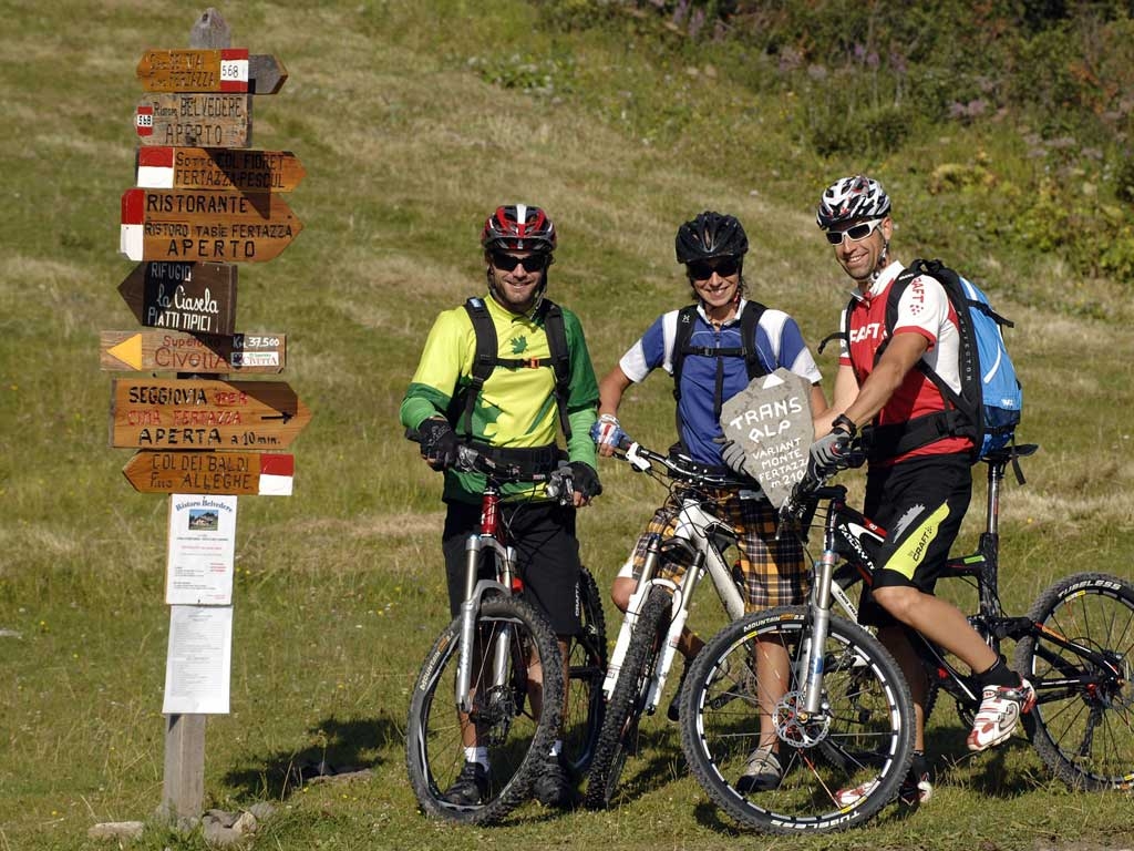
Start off from Alleghe riding up to Piani di Pezzè with the cable lift, to the new 8 - seater cable car that will take us to the scenic village of Col dei Baldi (1915 m). Once off the lift we face south and take our first downhill to the right for about 550 m at the juncture for Col Fioret we keep going straight for Malga Boi Vescovà paying attention to a brief, steep stretch with a slippery, rocky surface, after which we pedal on asphalt for about 450 m. that will take us to the junction for Casera Fontanafredda, where we take the left and pass the dairy pedalling on a short, easy uphill towards F.lla Pecol. After this we descend on a rough tract for about 2 km and a 15% negative incline. At point Vizza Mareson we take the left on a brief stretch that alternates between dirt road and asphalt under the wood called Bosco delle Foglie; another 500 metres on asphalt and we come to the parking lot for the Pescul lifts. We go back up to Fertazza using the lifts and here we find the namesake chalet, and take the second tract of the chairlift to get to the 2082 m of the scenic Belvedere di Fertazza with the namesake rest stop. We take the right to go up a few metres more to Cima Fertazza and then descend along the path marked 566 in the direction of Col di Davagnin, a challenging stretch about 1300 m long with a negative grade of 180 m at a 14% incline. We continue going down for another quite challenging 1300 m with 350 m altitude change at 28% towards the point “ Ru delle Sorize” and right after the houses of Fernazza (1567 m) we continue on the path to the village of Coi that is just a little less than 600 m away, a first step on the descent that is about 3170 m with -654 m and an average incline of a little over 20%. From Coi we head off once again for the final plunge towards Alleghe lake that is about 3020 m with -435 m altitude change for a downhill incline of 15,5% passing the hamlets of Frena on asphalt, Coldemies at 840 metres with an 18% gradient between a little asphalt, gravel and path and then on to Fontanive, a little over 1 km beyond, always on an 18% incline between asphalt and a rocky path. From here there are just another 730 m to cover on a slightly easier downhill that alternates between asphalt and path until we reach our destination.