Trekking - Rifugio Vazzoler - Botanic Garden "A. Segni" (Alleghe)
TREKKING | RIFUGIO VAZZOLER - BOTANICAL GARDEN "A. SEGNI" | ALLEGHE | DOLOMITES UNESCO World Natural Heritage Site
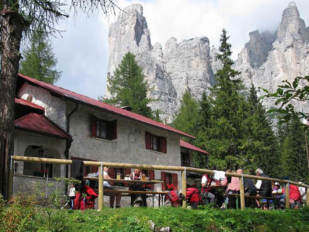
The start is in Listolade, a hamlet in the Community of Taibon Agordino that is 31 km regional road 203 Agordina, from where, veering right, you can take the car up for 4 Km along the Val Corpassa to the Capanna Trieste (1135 m). Proceed on foot along the old mule trail which after a brief tract goes in to a pine forest and continue in a counter clockwise direction to the Corpassa torrent where you cross on a narrow iron walkway. The mule trail continues with straight sections and sharp turns until you reach Capanna Ginetto, a tiny emergency shelter that is useful if the weather is bad; above there is the spectacular vertical wall of the Torre Trieste (the “tower of all towers”), the setting for popular alpine rock climbing feats. Continuing along the mule trail you get to Piàn de le Tàie (here there is a fork in the path that to the right goes up to the Van de le Sasse and the ferrata Tissi cabled trail), you proceed admiring the Cima del Bancón, the Cantoni di Pelsa and the superb Torre Venezia with its summit pinnacle and in about twenty minutes you make it to the Rifugio Vazzolèr (1714 m), built by the CAI association from Conegliano in 1929. In 1968 this same CAI group set up a botanical garden adjacent to this lodge, which is now managed by the Belluno Regional Forestry Office. The garden covers a surface area of about 5000 square metres where a network of paths leads one to admire the various floral species indicated by specific signs. A must is a brief rest at the small chapel that lies to the right of the lodge, on a tiny hill, where there are two marble slated carved with the names of all those Alpinists who have perished on the Civetta. If you lengthen the route a little, towards the base of the Torre Venezia in the direction of the Rifugio Tissi, after about 20 minutes in a marvellous, stony atmosphere you will be awed when you meet an image of Christ built to scale in iron wire on the wall of a massif to the right of the path. The return follows the same route back and takes about an hour and a half.