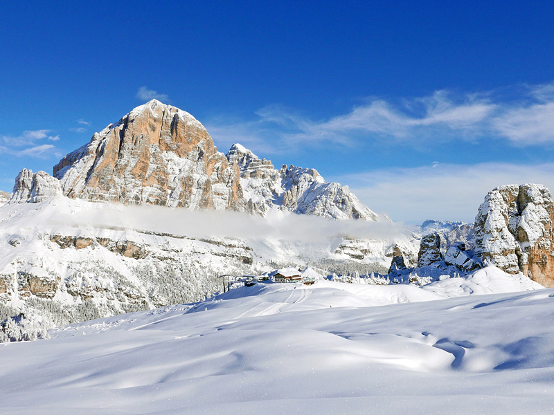
Holiday among the most famous Dolomite peaks, the Tofana di Rozes, the Marmolada or the 5 Towers (gigantic natural rock gymnasiums)... the scenic highlights of one of the planet's most spectacular landscapes.
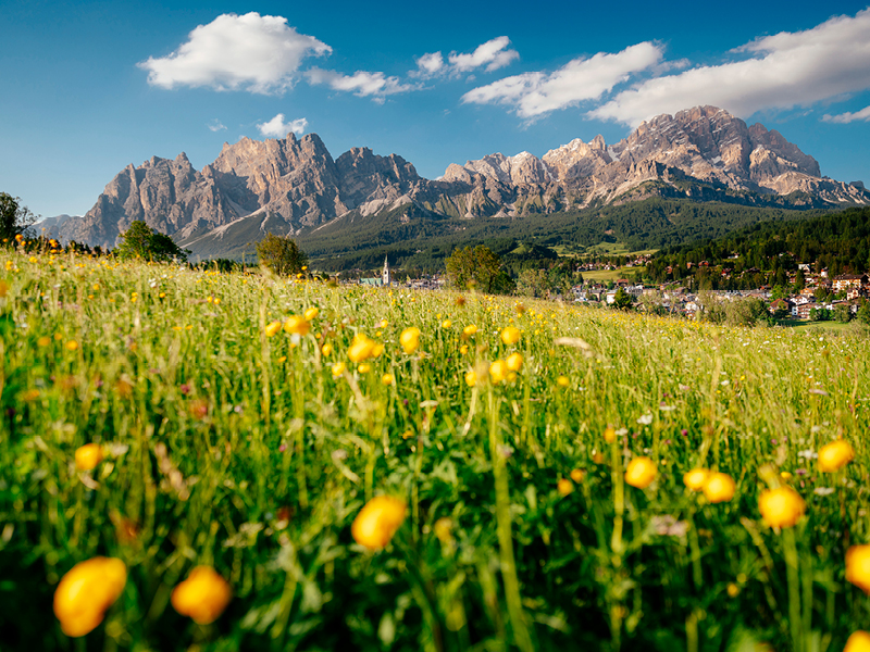
At sunset, the mountains light up in fiery red, turning to purple before fading into the night: this is the Enrosadira, the Alpenglow, a phenomenon whose origins are deeply rooted in legend. Your unique holidays in the Unesco Dolomites The ideal place for climbing, trekking, exploring the Dolomites by bike, spending unforgettable wellness holidays or romantic weekends.
Check out all our offers and special deals.