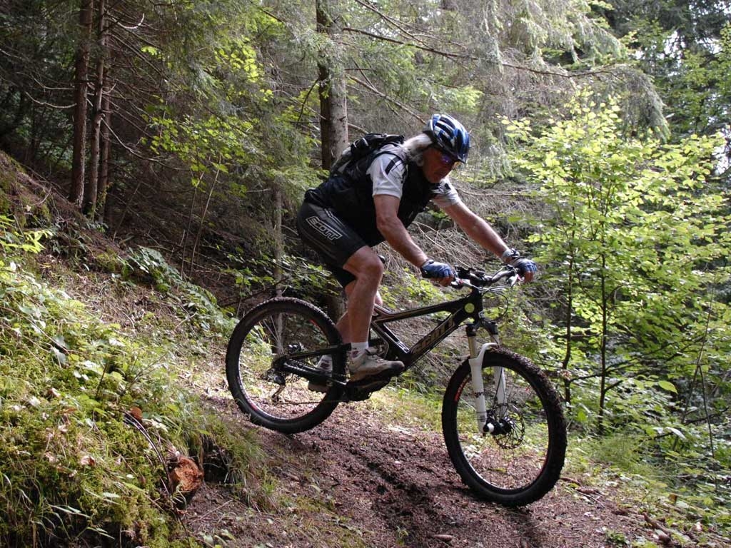
Mountain Bike - Forca Rossa (Marmolada)
The tour begins in the parking lot of the Alleghe ice arena to get an idea of the lake and its environs and follows the road precisely along the lake towards Masarè. Here we turn right to ride around the lake on an easy to follow asphalt road. After a slight climb, we come to the village of Saviner along the gravelly path, with a slight downhill that then becomes flatter along the Cordevole river to Santa Maria delle Grazie. From Saviner we continue along the gravel and asphalt bike path until we come to the opening of the Sottoguda gorge. A little after coming out of the gorge we get to Malga Ciapela where we go left, along the campground road. From here we reach the dirt road through Valle di Franzedàz which then becomes a bunch of curves on an uphill. After a gravelly path that is not too difficult, the route becomes steeper and even strong riders may have to get off their bikes to push. After Malga Frandezaz the route will become smoother, but it will still be so steep that we will have to push our bikes again. The 2487-metre ascent will be repaid once we get to Forca Rossa, thanks to the magnificent views to the South on the Pale di San Martino and to the North of the splendid scenery of the Southern wall of the Marmolada. From here, there is a wonderful descent on a path across pastures. We follow the path on an open course until we turn left and head towards an easily visible rock peak. From here we follow the path that will take us to Valfredda and the Rifugio Flora Alpina. Continue on a road that is first asphalt and then dirt until a junction that takes us on a steep descent until we reach Valt. The ride back to Alleghe will be a series of up and down passages that pass through the various hamlets. After Valt we turn left, follow the asphalt road for a bit, to Tegosa. Then we continue uphill, first on asphalt and then a little on gravel, to Forcella Lagazzon. Then we follow for Cogul, continuing on an up and down course to go in the direction of Forcella Celat following the asphalt and then a dirt road climb. From here we follow a very steep downhill to the village of Celat and then asphalt to Avoscan. Another 160-metre climb and we go back to Alleghe. Forca Rossa is an itinerary that requires relatively high technical skill, for bikers in good shape.