Mountain Bike - Malga Ciapela (Marmolada)
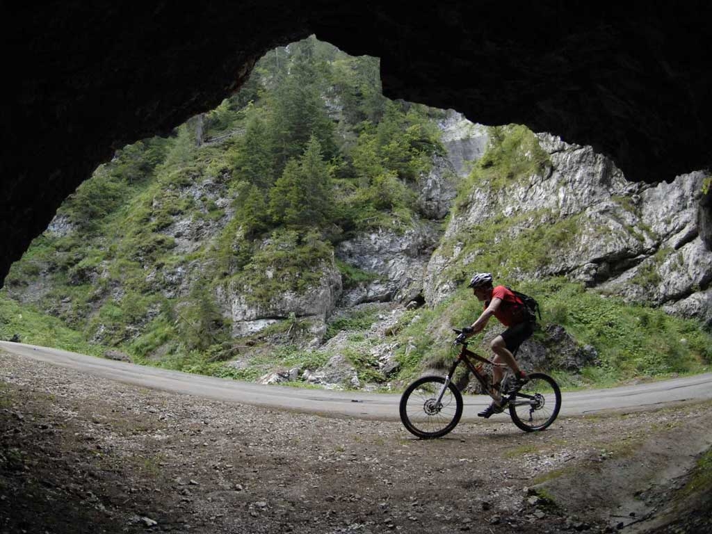
The feeling of a relatively easy day from Malga Ciapela to Alleghe does not depend so much on the splendid views of the Eastern side of the dominant Marmolada, which rises 1.500 metres above the village; and it is not even because of the lovely path that descends along the opposite side of the valley. Most of all it has to do with the Serrai di Sottoguda. This is a natural canyon that at times is only a few metres wide, with rocky walls up to 200 metres high. Below, near the Pettorina torrent, a slightly uphill asphalt road goes to Malga Ciapela, this road is closed to car traffic and only accessible by bike or on foot. (Bikes only uphill). The tour begins in the parking lot of the Alleghe ice arena to get an idea of the lake and its environs and follows the road precisely along the lake towards Masarè. Here we turn right to ride around the lake on an easy to follow asphalt road. After a slight climb, we come to the village of Saviner along the gravelly path, with a slight downhill that then becomes flatter along the Cordevole river to Santa Maria delle Grazie. From Saviner we continue along the gravel and asphalt bike path until we come to the opening of the Sottoguda gorge. A little after coming out of the gorge we get to Malga Ciapela. To go back, after the tunnel turn left on the forest road, which meanders through the woods with some exposed tracts. Further on the path is narrow and steep but not too hard to ride on, until it comes back to Sottoguda. Get back on the road for Saviner di Laste and from here follow the bike path to the left of the Cordevole torrent that goes to Alleghe.