Mountain Bike - Passo Crepe Rosse (Marmolada)
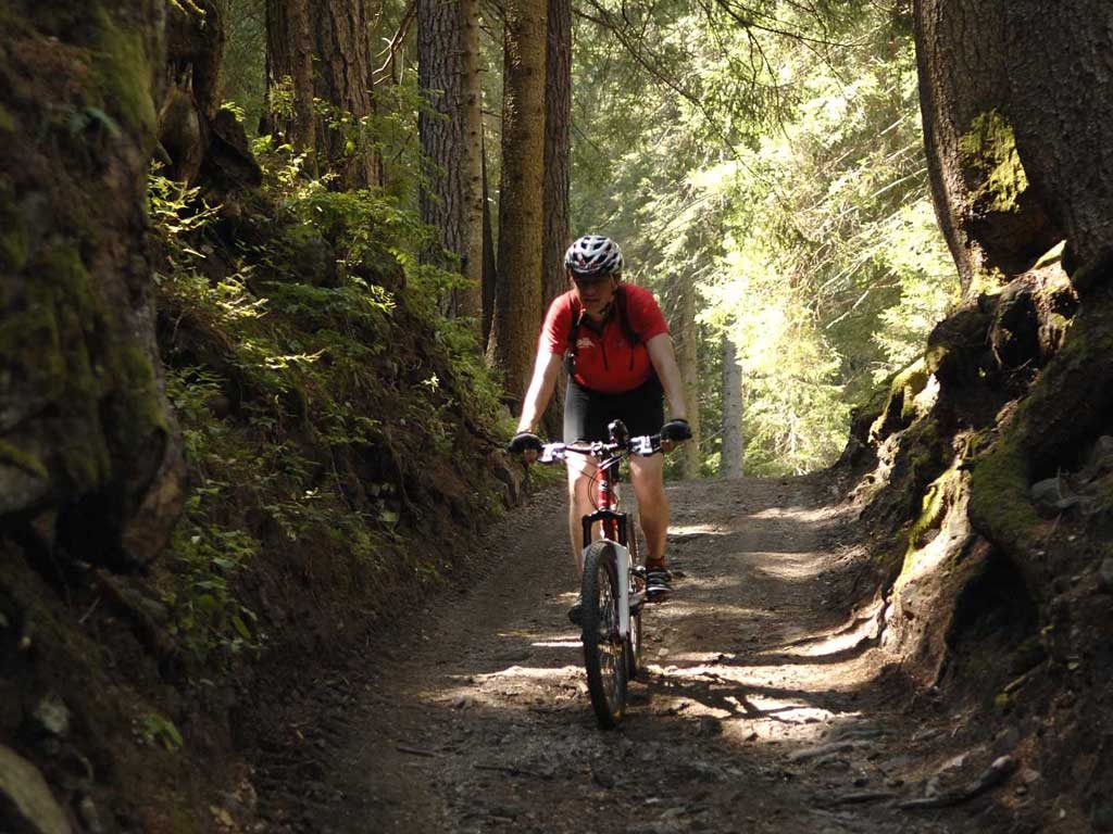
Passo delle Crepe Rosse, located above Passo Fedaia towards the Marmolada, in an area distinguished by its wide fields, offers a route of almost twelve kilometres that is technically challenging but almost always an easy ride. Besides all this, of course, there are fantastic views of the Marmolada and Civetta. The tour begins in the parking lot of the Alleghe ice arena to get an idea of the lake and its environs and follows the road precisely along the lake towards Masarè. Here we turn right to ride around the lake on an easy to follow asphalt road. After a slight climb, we come to the village of Saviner along the gravelly path, with a slight downhill that then becomes flatter along the Cordevole river to Santa Maria delle Grazie. From Saviner we continue along the gravel and asphalt bike path until we come to the opening of the Sottoguda gorge. A little after coming out of the gorge we get to Malga Ciapela. From here we reach the uphill road towards Passo Fedaia to the chair lift for Passo Padon, which we can conveniently ride with our bikes. Of course, you could also follow the road and climb up to Passo Fedaia and the Rifugio Padon. The route along the ski slope is not advisable, as it presents many dangerous tracts. From the top of the chair lift it is a brief descent to the Rifugio Padon with its breathtaking views of the Marmolada glacier. A short rest on the terrace is a must! From here we follow the downhill dirt road and after three curves we take a sharp left near the helipad. This route is a quite difficult uphill at first but the closer we get to Passo Crepe Rosse, the easier it is to ride. At the pass the path becomes wider and to the left it goes to Malga Laste. Continue downhill towards Ronch, on a steep field. Pass through the village and turn right again on a poorly visible path that goes down through the woods to Saviner di Laste. The path winds around in curves without any rocky passages. At Caprile, take the bike path to the left of the Cordevole torrent that goes back to Alleghe.